Day 6 would mark the final transition from the Spectrum Range and up onto Big Raven Plateau (17.2 km, +815 m, -1009 m, from camp 4b in the route planning post). Starting at the headwaters of Walkout creek, our route would take us through the pass leading to Chakima Creek, up a steep gully leading onto Big Raven Plateau, over a small ridge that overlooks the volcano complex, and through the spectacular southwest volcano complex to the head of Sezill Creek.
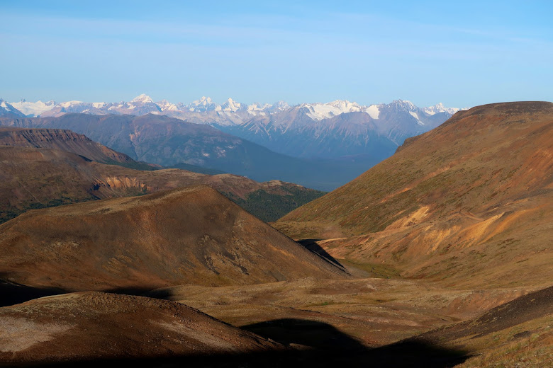
The morning view from our camp perched on a small bench above the south fork of Walkout Creek.
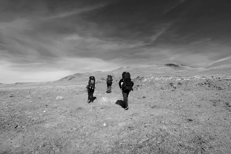
Christoph and Alejandra on the final climb to the headwaters of Chakima Creek.
A last look back at the Spectrum Range with Cache Hill on the right and snow covered Obsidian Ridge far in the distance on the left.
Another spectacular morning - cold, but with clear, sunny skies.
Looking back up the north fork of Walkout Creek towards the pass that leads to Chakima Creek.
The south edge of Big Raven Plateau. Our path would take us up the gully and through the low saddle on the ridge above.
The wide open spaces of Big Raven Plateau.
The final push to the top of the ridge...and incredible views.
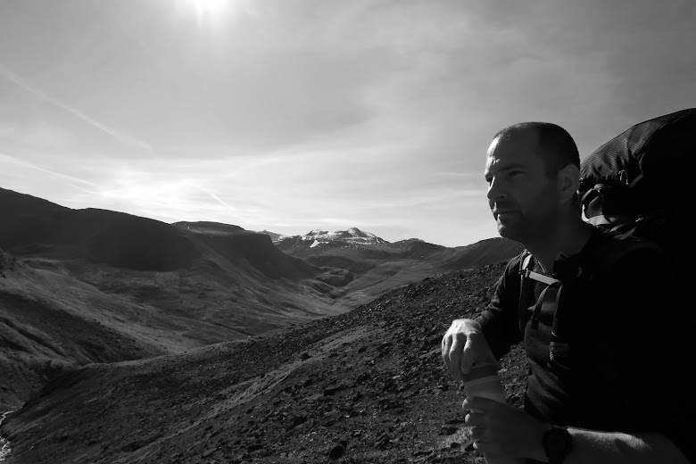
Yet another perfect weather day - I think we topped out at 15 degrees Celsius with light winds.
Our first view of the volcanic complex on the southwest corner of Big Raven Plateau. Edziza and the extensive Tencho Glacier upper right.
Looking west with Keda Cone standing out in sharp contrast.
Looking across the lava flows northwest to the Boundary Range.
Making our descent to cross the lava flow, with an unnamed volcanic cone on the right.
The lava flows are very rugged. As you make the approach, watch for cairns that mark a faint "trail" and safe passage through the lava flows. And this is your last chance at water for the next 10 km.
Walking across a mix of granular pumice and obsidian-like "popcorn" was very abrasive on the boots.
Change the color of the sky and ignore the thin patch of snow, and you might just as well be on Mars.
The south face of Edziza and Tencho Glacier.
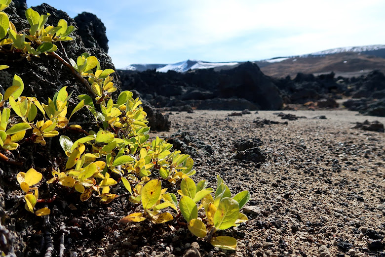
Over 1000 years since the last eruption and this was the only sign of life in this beautiful but stark landscape.
Coffee crater.
The (mostly) dry lake-bed at the foot of Coffee crater. Snow melt from the recent blizzard has left a shallow pond in the upper corner.
No, not snow.
With no outlet to the flat-bottomed depression, mineral deposits have started to build up from years of spring flooding followed by summer evaporation.
Cocoa crater surrounded by miles of volcanic ash.
The volcanic ash here has a granular composition making it more like coarse sand.
This section had the look and feel of a desert excursion; we felt parched even though we had plenty of water.
Splashes of color break up the gray-on-gray piles of ash.
Use caution here.
In some places the glacier is overlaid with volcanic ash. It's sometimes hard to tell if you are on terra-firma or actually on the glacier. With steep and loose material along the edges, you don't want to get too close.
A glacial crevasse exposed by erosion.
A last look back before we round the nose of Koosick Bluff.
Back to normal.
Looking over the headwaters of Sezill creek from the toe of Koosick Bluff marks the end of the volcanic complex. This was our first view of vegetation in over 5 hours. With the faint glint of Sezill creek down in the valley, it wasn't hard to decide where to camp.
Our camp along a trickle that marks the start of Sezill Creek, with Koosick Bluff in the background.
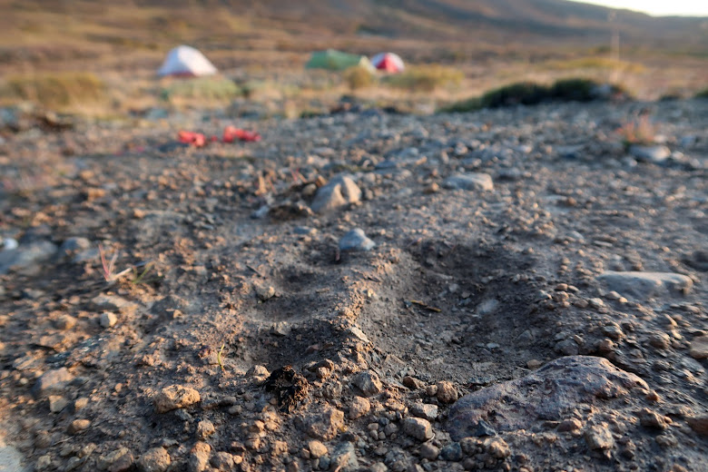
Lots of these made us wonder if this really was a good place to set up camp.









No comments:
Post a Comment
Note: Only a member of this blog may post a comment.